
Challenge
To support the future expansion of subsea infrastructure, a major offshore energy operator required a high-accuracy 3D modelling solution capable of calculating bend radii for multiple new jumper installations across existing subsea assets. Since the original installation, natural sediment accumulation had altered the surrounding seabed, creating uncertainty around clearances and routing.
Solution
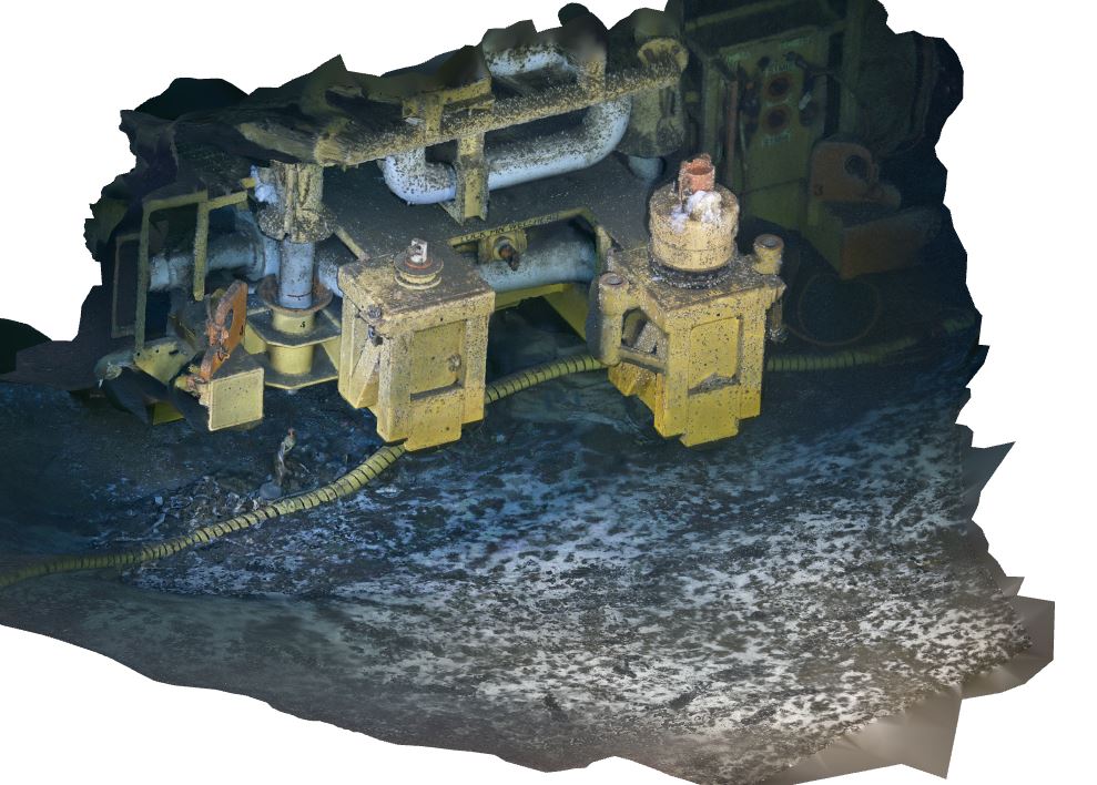
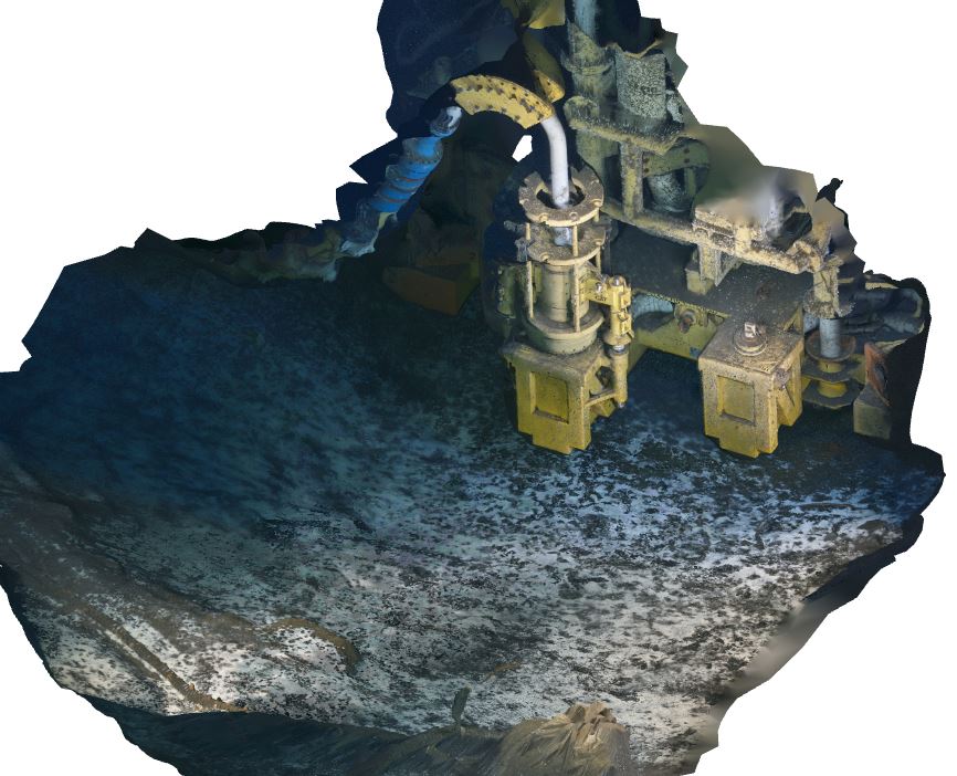
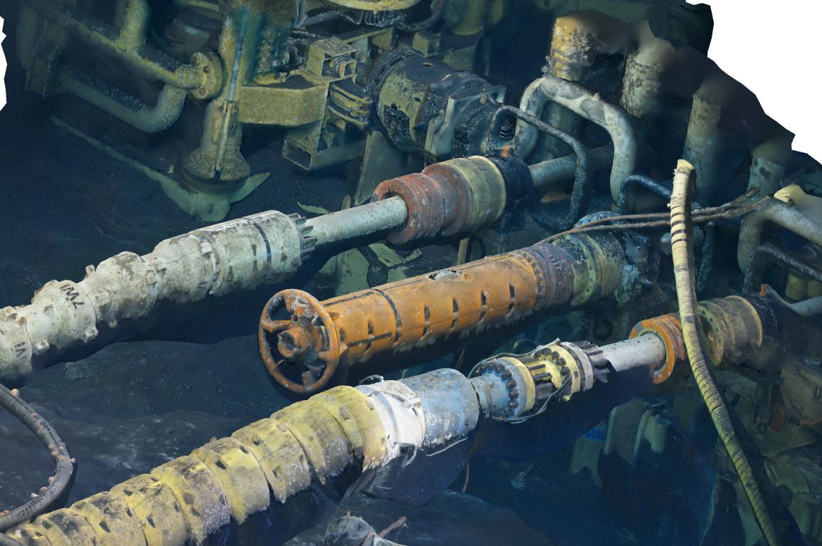
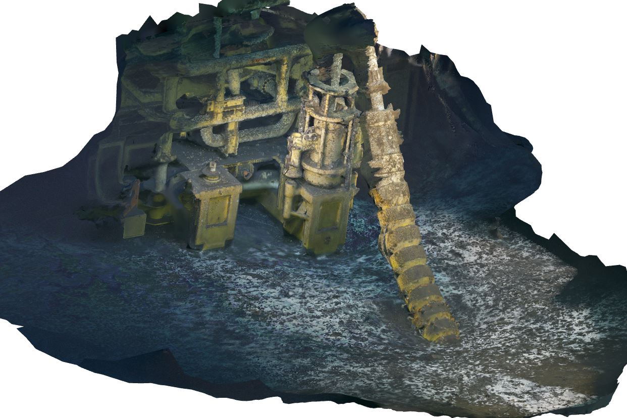
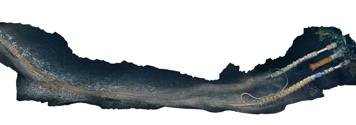
Drawing on its extensive experience in subsea inspection, Ashtead Technology proposed a 3D modelling scope, deploying the Voyis Discovery Stereo Inspection Series to capture high-resolution stereo imagery of subsea infrastructure, including hubs, manifolds, flowlines, and the surrounding seabed. Powered by Voyis VSLAM Powered by EIVA NaviSuite, the system generated a live 3D reconstruction during the inspection, allowing the offshore team to immediately visualize the developing model and verify complete coverage before leaving the worksite.
Unlike traditional imaging workflows, where data quality is often confirmed only after processing onshore, the Discovery Stereo Inspection Series provided immediate feedback during acquisition. This enabled operators to identify any gaps in coverage while still offshore, reducing the risk of costly remobilization and ensuring a complete, high-quality dataset for engineering analysis.
The resulting high-resolution 3D models provided an accurate digital representation of the subsea environment, allowing engineers to calculate bend radii, assess clearances, evaluate routing options, and make informed installation decisions with confidence.
Results and Impact
- Captured high-resolution 3D models of subsea infrastructure and the surrounding seabed, providing the accurate digital data required to support engineering assessments and future jumper installations.
- Enabled real-time 3D reconstruction with the Voyis VSLAM solution, allowing the offshore team to verify data quality and inspection coverage during acquisition, reducing the risk of incomplete datasets and costly rework.
- Delivered a detailed digital representation of complex subsea assets, enabling engineers to confidently evaluate clearances, calculate bend radii, and optimize routing decisions before installation.
- Reduced project risk by providing a complete, high-quality dataset that could be validated offshore, minimizing uncertainty and improving confidence in the final deliverables.
- Demonstrated how the Voyis Discovery Stereo Inspection Series can streamline subsea inspection and engineering workflows by combining high-resolution imaging with real-time 3D visualization, helping operators make informed decisions while reducing offshore time and operational costs.