For OFFSHORE ENERGY
Enable
Autonomy
Giving those in offshore energy the ability to create high accuracy digital representations of their subsea assets in real-time to reduce risk and enable survey autonomy.

From pipeline inspection to oil field metrology, our powerful underwater lasers and cameras help you to easily perform surveys and gather accurate 3D records of your assets in their current state.
Our industry experts are here to help you with your specific project!
Why Voyis For Offshore Energy?

Suitable for a variety of deployments

Analyse your data in real-time

Remotely detect defects

Enable automation & own your survey

Knowledgable support

Monitor critical assets
Applications
Underwater laser scanning & stills imaging are the ultimate survey tools for offshore energy applications for producing 3D models with high accuracy and detail.
Pipeline
Automated pipeline and cable inspections at high vehicle speeds while maintaining industry-best data resolution
Metrology
Drastically reduce your time-to-measurements and measurement certainty with dynamic surveys
Offshore Wind
Obtain vital 3D dimensions and conditions of assets and subsea environments
As-Built Conditions
Create digital twins of your assets for diligent as-built records and monitoring change over time
Case Studies
Case Study
AUV-Based Pipeline Surveying
For Oceaneering
Case Study
Spool & Hub Metrologies with Dynamic Laser Scaning
For DOF Subsea
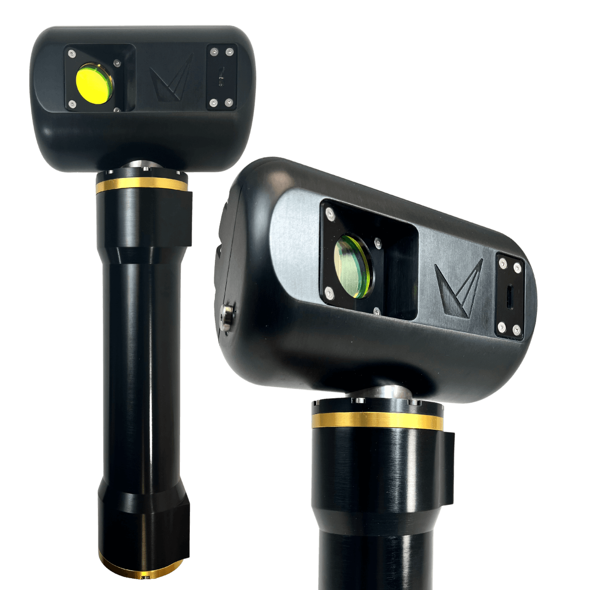
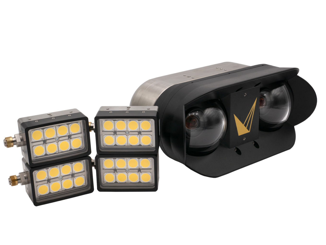
Recommended Products


[Voyis] was able to deliver a best-in-class solution not only because of the quality of their scanners but also as a result of their ability and willingness to collaborate from an engineering perspective.
The [Voyis Insight Nano] Laser Scanner is a critical component of our proprietary cut confirmation system for subsea abrasive cutting services, as it provides a real time generated model of the completed cut line… The quality, expertise and dedicated support provided by [Voyis] was instrumental in the realization of this achievement.
Ready to expand your underwater capabilities?
We’d love to hear about your project. Get in touch with our industry expert to get started.
What altitude and speed can I use Voyis products at?
Voyis products have a range of recommended max altitudes and speeds. Our PRO products push the limits of optical sensors to collect laser and stills data at up to 15m altitude and 6 knots.
Do I need other sensors with an underwater laser scanner?
When scanning stationary with our tripod, there is no need for additional sensors. For dynamic survey operations, you will require an inertial navigation system (INS), a doppler velocity log (DVL), and a depth sensor, to generate the required positioning data. A conductivity temperature depth sensor (CTD) is recommended to improve laser data accuracy. All products support common third-party sensors.
Does water turbidity affect the results?
Yes – the scanning range will be limited by the visibility range in the water column. Talk to our experts about whether your conditions are suitable for optical inspection.
Can I install Voyis products on an AUV?
Absolutely, Voyis products have been designed specifically to simplify AUV integrations. Equipment comes with a straightforward software API for autonomous control and supports most standard navigational sensors.
What size ROV is required for Voyis products?
Voyis offers a range of products that integrate with small observation class to large work class ROVs. We support custom integrations or off-the-shelf ROV skids.
We provide versatile optical solutions to expand your underwater capability and enhance understanding of remote, challenging environments.
Proudly made in Canada 🍁

Contact Us
120 Randall Dr, Unit E
Waterloo, ON
N2V 1C6