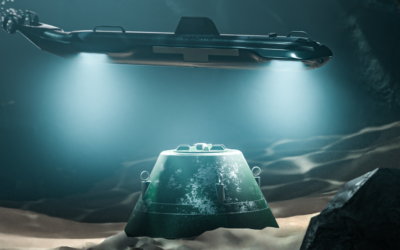
Subsea inspections and surveys rely on ROV cameras to guide navigation and capture critical data. However, even high-quality video presents a limitation: it is inherently two-dimensional. In low-visibility environments, operators must constantly estimate distance, orientation, and proximity based on visual cues alone.
For ROV piloting, this creates uncertainty. Maintaining a consistent offset from structures, navigating tight spaces, or approaching assets for detailed inspection all require continuous judgment calls, increasing cognitive load and the risk of inefficiencies.
Adding Spatial Awareness with Depth Map
A depth map introduces real-time distance information into the camera feed, providing per-pixel measurements of how far objects are from the ROV. Instead of estimating proximity, operators can interpret spatial relationships directly.
This added layer of information is particularly valuable during close-range inspections, where precise positioning is critical.
Why Depth Maps and Video Together Matter
Depth information alone is not sufficient for effective piloting, it must be paired with clear visual context. Likewise, video without spatial data leaves room for interpretation.
By combining depth maps with live video in a single system, ROV cameras can provide both:
- Visual clarity to identify features and structures
- Spatial awareness to understand distance and positioning
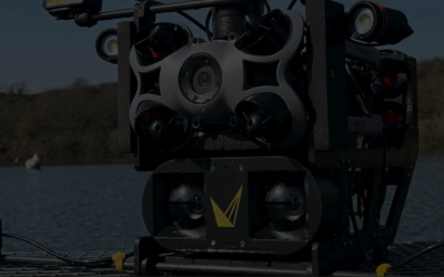
Systems such as the Voyis Discovery Stereo Perception Series are designed around this principle, delivering synchronized depth and video streams to support real-time decision-making.
For operators, this means fewer assumptions and more confidence when navigating complex subsea environments.
Expanding Awareness with a Wide Field of View
A wide field of view further enhances this capability by increasing the amount of visible context in each frame. Instead of focusing narrowly on a single point, operators can see more of the surrounding environment, including nearby structures and potential obstacles.
When depth data is available across this wider scene, spatial awareness extends beyond the center of the image. This allows for smoother navigation, better alignment with assets, and improved control during subsea inspections and surveys.
Enhancing Visibility in Challenging Conditions
Underwater environments often degrade image quality through low light, turbidity, and backscatter. Image enhancement techniques improve contrast, sharpness, and overall clarity, making it easier to interpret the scene.
When combined with depth-enabled video, enhanced imagery ensures that both visual and spatial information remain reliable. This is critical for maintaining situational awareness in challenging conditions where standard ROV cameras may struggle.
A More Complete Tool for ROV Piloting
By integrating depth maps, enhanced video, and a wide field of view into a single system, modern ROV cameras provide a more complete understanding of the subsea environment.
This integrated approach supports:
- More stable and precise piloting
- Improved ability to maintain consistent inspection distance
- Reduced reliance on operator estimation
- Greater efficiency during subsea inspections and surveys
Rather than switching between tools or interpreting incomplete data, operators can rely on a unified view that combines visual and spatial information in real time.
From Observation to Understanding
As subsea operations evolve, the role of ROV cameras is shifting from simple observation to enabling true situational awareness. The combination of depth maps and enhanced video represents a key step in this transition.
By delivering both what the operator sees and how far away it is, across a wide field of view, these systems provide the clarity and context needed for confident, efficient ROV piloting.