The University of Southampton, funded by the EPSRC, was looking for an efficient solution to map the extent and distribution of seagrass in the Studland Bay Marine Conservation Zone.
With that in mind, the University decided to acquire a smaller and portable autonomous underwater vehicle (AUV), with integrated high-resolution laser scanner and stills camera system from Voyis, and precise navigation system from our sister company, Sonardyne.
The Project
Seagrass meadows are an important part of the marine ecosystem, as they provide both shelter and food for various species within the environment. With that in mind, researchers of the University of Southampton, from many departments (Engineering, Geography and Ocean & Earth Science) got together with the Studland Bay Marine Partnership, including the National Trust and Dorset Coast Forum, to protect this ecosystem.
The partnership involves local conservation organisations, boat users, and local community groups, who aim to protect the seagrass by installing ‘eco-moorings’ within the bay. These structures are designed to minimize the damage from boat anchors, allowing the seagrass and local biodiversity to grow.
To determine if the solution works, the University of Southampton has been tasked with developing a broader understanding of the health of the seagrass around the new moorings. This goal can be accomplished through autonomous subsea mapping using Voyis’ laser scanner and imaging system, providing an efficient way to gain full understanding of the area being studied.
They map the extent and distribution of seagrass in the Studland Bay Marine Conservation Zone. This will allow scientists to build a more comprehensive understanding of seagrass health around the eco-moorings and monitor seagrass recovery from past anchor damage.
Portable and Powerful Solutions
The University chose the portable and efficient Sparus II AUV from Iqua Robotics, which the University has named SMARTY 200. A lightweight vehicle, 200m rated, at just 1.6 m long, deployable from two people.
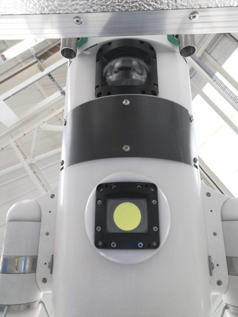
For powerful mapping capabilities, the University of Southampton chose the Voyis Recon LS, an all-in-one AUV payload to deliver complete optical inspection data with crisp stills images and 3D laser data. A solution that helps simplify the integration of our laser scanners and imaging systems to any AUV.
The underwater laser will generate high resolution point cloud data, allowing for a full digital 3D reconstruction of the marine habitat and to provide accurate analysis capabilities for determining seagrass growth over time.
Our camera will output true colour 4K images, which are processed and enhanced in real-time onboard the system to deliver actionable data for species classification and identification, while also depicting the health of the ecosystem.


In addition to that, the University of Southampton chose Sonardyne’s SPRINT-Nav Mini, for vehicle navigation, and their AvTrak Nano and Mirco-Ranger 2 portable USBL system, for tracking and communicating with the AUV.
SPRINT-Nav Mini lets your AUV know where it is – including how far it is off the seabed so it can keep a steady altitude during your survey mission, ensuring you get high quality image data. It is the smallest of its kind in the market, combining four sensors (INS, DVL, AHRS and depth) tightly integrated into one low-power, compact instrument.
Integrating these imaging and navigation solutions into the SMARTY200 gave the University of Southampton’s researchers the ability to build detailed 3D maps of seagrass distribution, seagrass growth rate, and to classify/identify the different species that live within these habitats.
Contact us to learn more.


